A View From Above
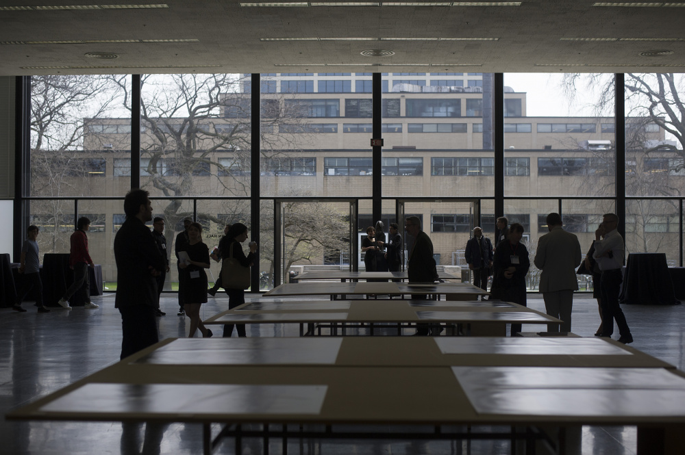
"A View From Above: The Transformation of IIT's Campus and Neighborhood" was an exhibition sponsored by the IIT Architecture Ph.D. program in architecture and curated by Michelangelo Sabatino, Director of Ph.D. program, that took place in S. R. Crown Hall from April 18th through 21st as part of the Campus Guide Roundtable event.
Cumulatively, the aerial photographs of this exhibition reveal an uneasy relationship between memory and tabula rasa, between 'progress' and reaction.
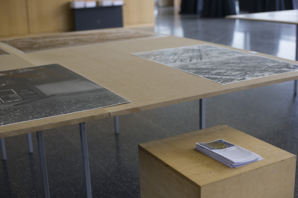
Well before Google Earth made satellite views from above commonplace, architects and urban planners deployed aerial photography as a research and design tool. Since its founding in 1940 by the merger of the Armour Institute of Technology and the Lewis Institute, The Illinois Institute of Technology, in collaboration with civic and governmental partners in Chicago, transformed an area of the near South Side by commissioning a series of modern buildings by Ludwig Mies van der Rohe. As the aerial photographs from the IIT Archives displayed here systematically document, the transformation of the main campus was achieved over time by repurposing (and erasing) parts of the historic Bronzeville neighborhood. The Mecca Flats completed in 1892 were demolished to make room for S. R. Crown Hall (designed by Mies and dedicated in 1956). Before and after the completion of S. R. Crown Hall, a variety of historic stone and brick buildings (including the Armour Mission designed by Burnham & Root, 1886) were altered (and demolished) to make way for surface parking lots as well as monumental and utilitarian buildings in steel and concrete. To be sure, aerial photographs privilege distant sight over a more tactile and intimate experience of place.